BATI
Modeling Soil Sealing in France
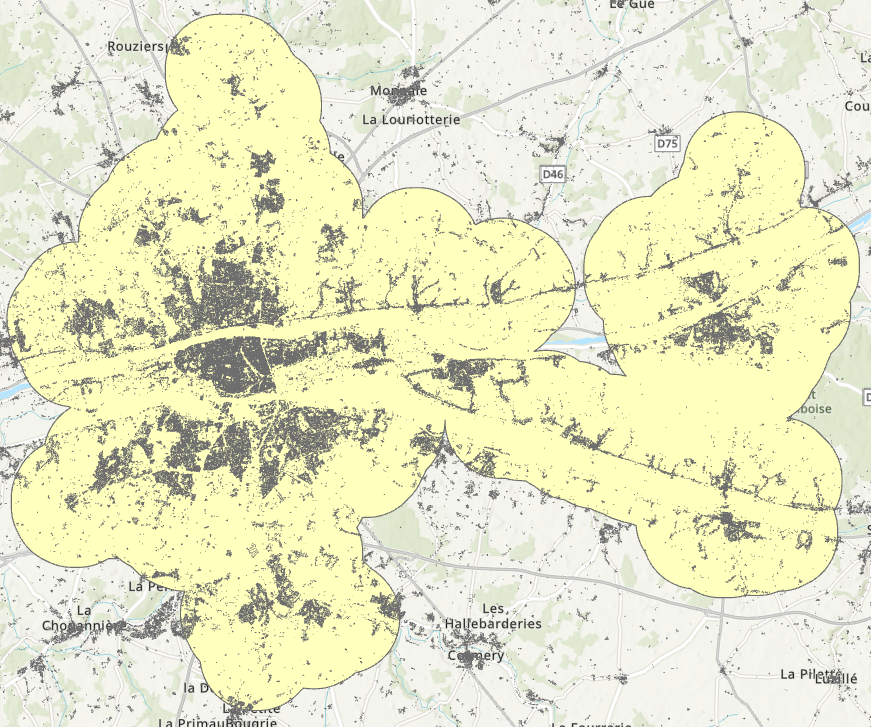
Soil sealing due to urban growth exacerbates various environmental and socio-economic issues such as the intensification of urban heat islands and an increased risk of flooding. In urban areas, soil sealing is closely linked to the footprint of buildings, as other impervious surfaces ̶ such as roads, sidewalks, parking lots, etc… ̶ are typically located near buildings.
The IGN BD-TOPO database has provided vector layers of building footprints across France since around 2002-2007 depending on the department. As of 2024, this dataset includes over 50 million polygons representing buildings in mainland France.
Study Objectives
- Optimize AI-driven calculations of soil sealing rates for 211 urban areas in France, considering both buildings alone and in combination with road networks.
- Assess the validity of this relationship in other European cities.
- Model changes in soil sealing rates over time to assess the impact of various urban planning scenarios, such as the implementation of the Zero Net Artificialization (ZAN) law and urban greening initiatives.
Project Leader
Dennis Fox, UMR ESPACE CNRS, EUR ODYSSEE, Université Côte d’Azur.
Project Participants
Anne Rainaud, UPR CERDACFF, Graduate School Law and Political Science, Université Côte d’Azur.
Mostafa Banitalebi, UMR ESPACE CNRS, EUR ODYSSEE, Université Côte d’Azur.